


Meet Marina
Meet Marina
WELCOME TO Marina, CA
Diverse. Coastal. Evolving.
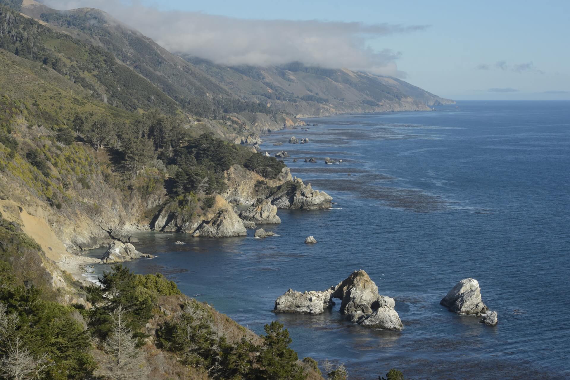
Marina is Monterey County’s adrenaline playground. From paragliders soaring overhead to trails winding through historic Fort Ord National Monument and Fort Ord Dunes State Park, this is where you can push your boundaries while still feeling right at home. Just minutes from Monterey, this unpretentious town offers adventure sports, global dining, and uncrowded views that feel like your own slice of the bay.

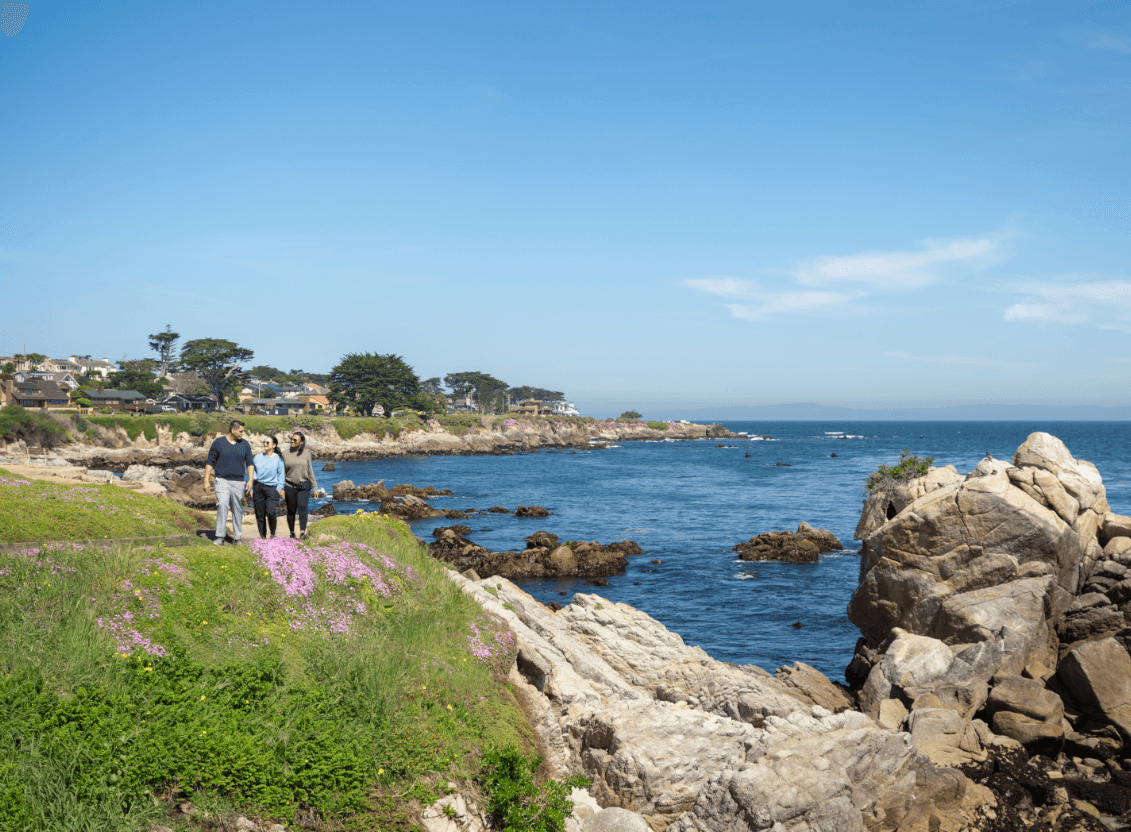
Beaches
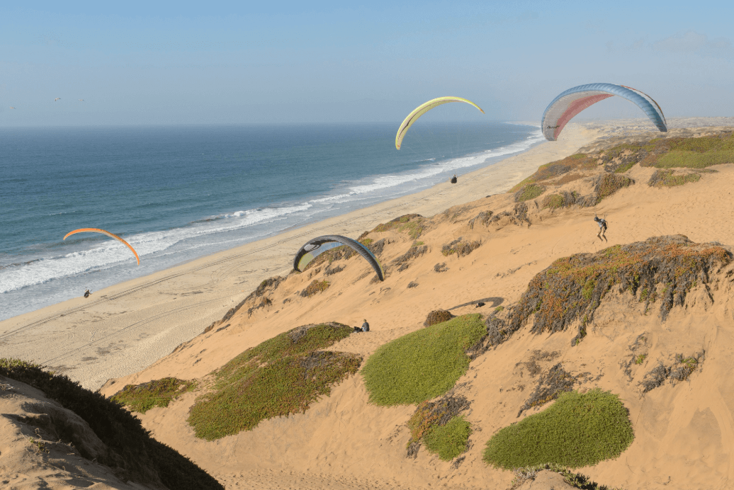
Marina State Beach is the city’s crown jewel, a haven for paragliders, kite flyers and sunset seekers alike. Watch colorful sails lift into the wind or stroll the shoreline to spot distant whales and shorebirds. Scenic trails and unforgettable experiences abound.
Discover Marina State BeachEXPLORE Marina, CA
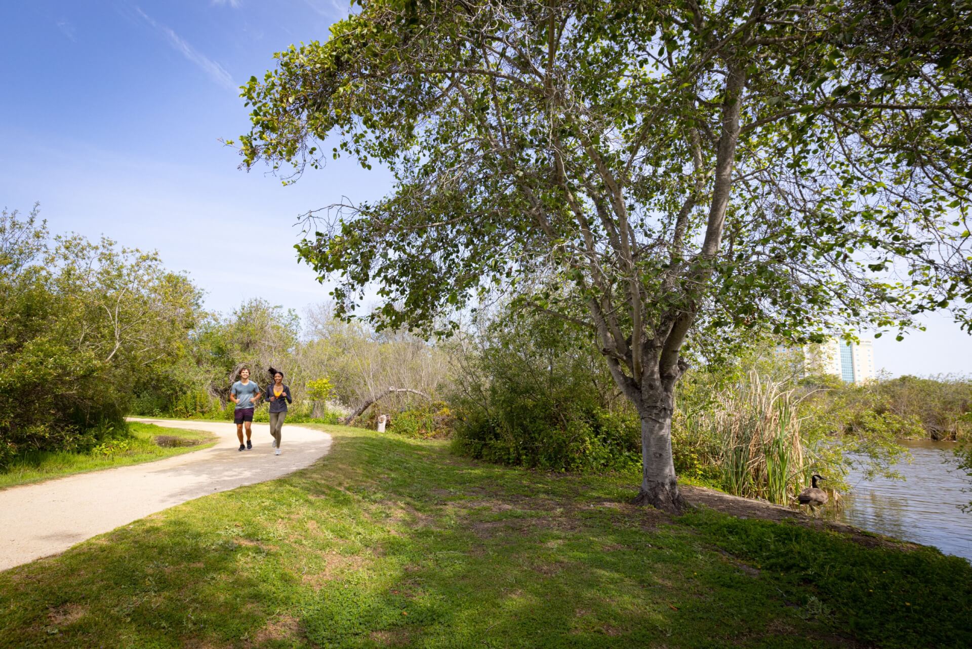
From vast sand dunes to Fort Ord’s miles of trails, Marina invites you to explore beyond the shoreline. Open spaces, protected state parks and accessible recreation make this city a gateway to the peninsula’s wild side.
PLACES TO STAY IN Marina
Stay right on the dunes at Sanctuary Beach Resort, where ocean views pair with seaside dining. For modern comfort, SpringHill Suites offers convenience near Highway 1. Hampton Inn offers a reliable and budget-friendly option, conveniently located near the beach and local dining establishments.

Best Western Marina State Beach

Marina Dunes RV Resort

Country Inn & Suites Marina State Beach

Monarch Valley Inn
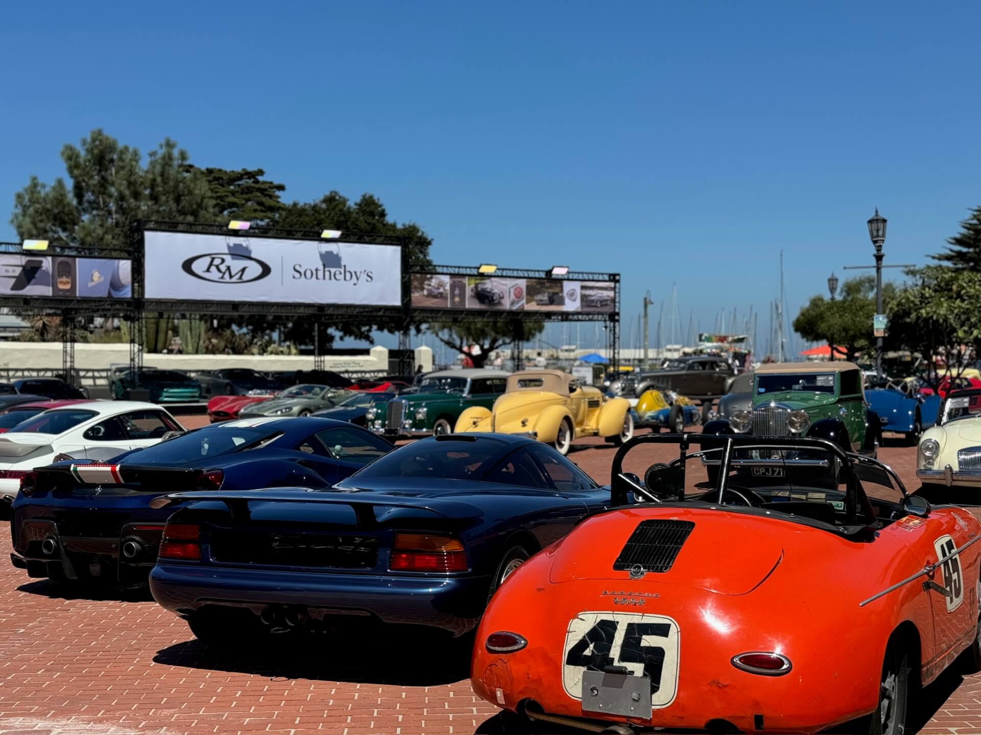
Upcoming Events in Marina
Browse fresh produce and multicultural eats at the weekly Marina Certified Farmers Market or join in seasonal gatherings that highlight the city’s coastal heritage.

Things to do in Marina
Adventure comes easily here. Take to the skies with a paragliding or skydiving experience, or keep your feet on the ground and explore Fort Ord National Monument's miles of hiking and biking trails. Families love the local disc golf courses, while nature lovers can spot snowy plovers along the dunes at Fort Ord Dunes State Park.
Let AI help plan your trip with the itineraries below ✨:
 Skydive Monterey Bay
Skydive Monterey Bay is known for the “World’s Highest Tandem Jumps” from 18,000ft. Jumping from 18k allows for a 90-second free fall before the parachute opens, then coasting gracefully, for approximately 6-8 minutes under the canopy, before coming to a soft landing on our designated landing area, here at the airport.
Skydive Monterey Bay Fort Ord National Monument
A former military base, the Fort Ord National Monument offers 83 miles of trail on approximately 7,200 acres. The recreational area is open from dawn to dusk for hikers, mountain bikers, horseback riders, wildlife/wildflower photographers and nature enthusiasts.
Fort Ord National Monument
PLACES TO EAT
IN Marina
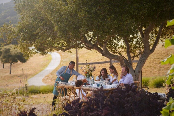
Marina’s dining reflects its diverse community. Savor seafood and oysters at Salt Wood Kitchen, dig into Mexican favorites at Michael’s Grill & Taqueria, or grab a sweet treat at Cheesecake Dreamations. From upscale to casual, flavors here are as open as the skies above.

Sarita's Mexican Grill Restaurants Marina

Mountain Mike's Pizza

Keoki's Hawaiian Barbeque

The Brass Tap
Pick Your Path
Let AI help plan your trip with the itineraries below ✨:
Marina: Frequently Asked Questions
Planning a trip? Start with these common questions.
No. Marina State Beach has powerful rip currents and steep drop-offs. It’s best enjoyed for walks, kite flying, paragliding, and sunsets rather than swimming.
Skydiving operators launch from Marina Municipal Airport, offering thrilling views of the bay as you descend.
About 10 miles, or a 15-minute drive.
Explore four miles of beach and bluff-top trails, bike or hike through rolling dunes, and learn about the area’s military history on interpretive panels. Viewing platforms also make it easy to spot wildlife and enjoy ocean vistas.
Late summer to early fall, especially September, brings the warmest days, fewer crowds, and clear skies.
Marina Directory
Plan your visit with complete listings of lodging, dining, and attractions. Whether you want a sky-high adventure, a quiet walk among the dunes, or a global bite to eat, Marina makes it easy to map your path.

Cheesecake Dreamations

Geisler 3

Home2 Suites

Otter's Den
Need some inspo?
Looking for travel inspiration? Our blog is packed with insider tips, destination guides and local stories to help you make the most of your Monterey adventure.
-

Run, Ride and Explore Monterey County During the Sea Otter Classic
Learn More: Run, Ride and Explore Monterey County During the Sea Otter ClassicSpring in Monterey County brings longer days, green hills, and one of the most-anticipated outdoor events of the season. Each April, the Life Time Sea…
-

Tracing the Juan Bautista de Anza Trail Through Monterey County
Learn More: Tracing the Juan Bautista de Anza Trail Through Monterey CountyInspired by America 250, Monterey 1000 broadens the lens to recognize histories that long predate the founding of the United States. Follow the path of the…
-

Things To Do With Kids in Monterey County
Learn More: Things To Do With Kids in Monterey CountyThe most successful family vacations keep one essential component in mind: The grown-ups should feel as engaged, excited and as happy as the young ones…
Just One More Adventure
Which path will you choose when there’s only time for one more? If Marina has captured your heart, explore nearby Seaside.
