
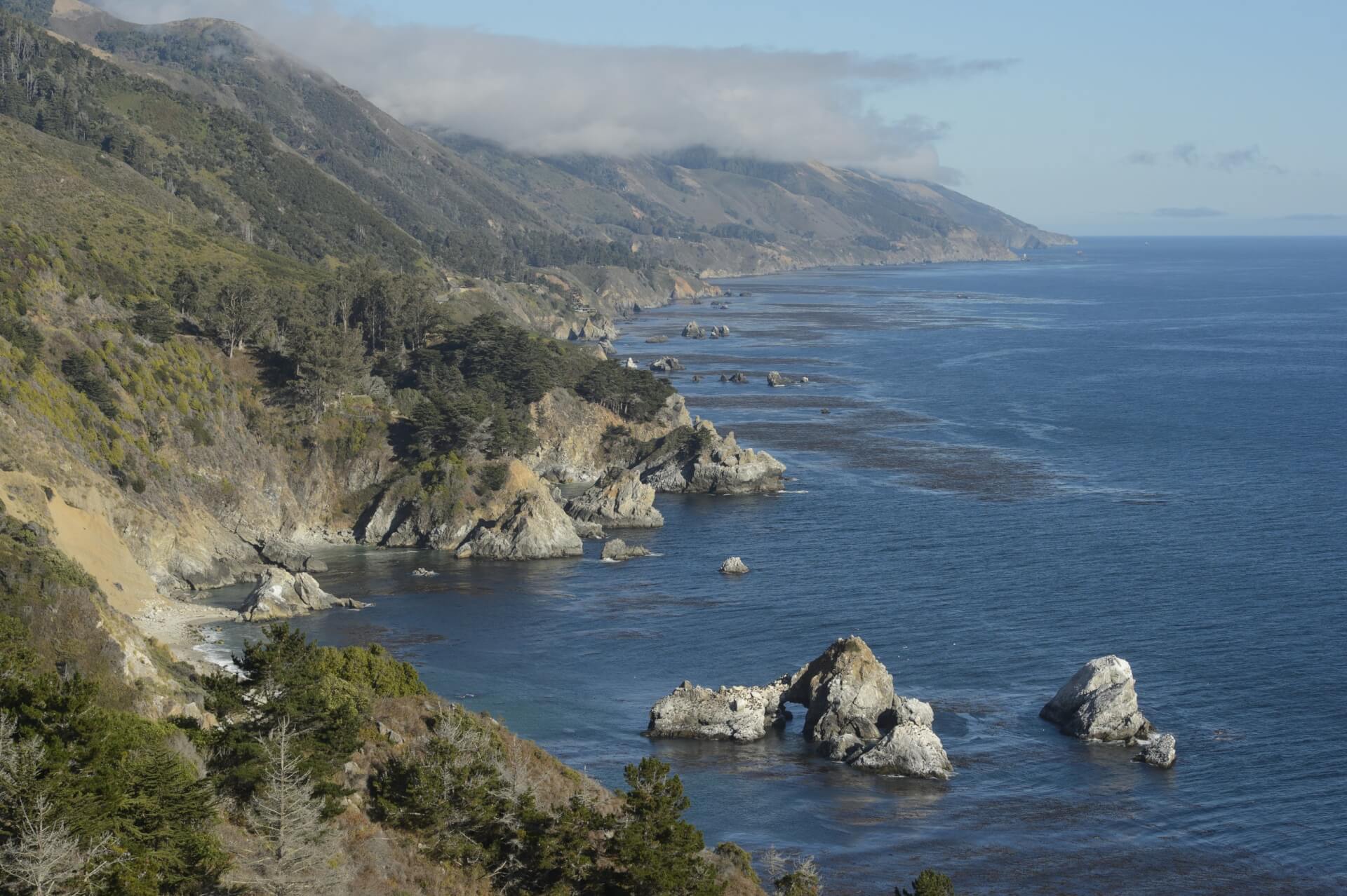


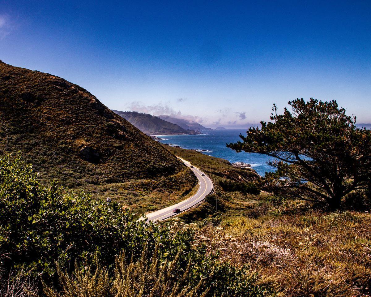


Whether you're chasing the iconic coastal waterfall at Julia Pfeiffer Burns State Park, the rich wildlife of Point Lobos State Natural Reserve or the striking rock formations of Pinnacles National Park, Monterey County's diverse hiking trails lead to spectacular scenic beauty. If you don't want the nature-loving to end, the perfect blend of adventure and relaxation awaits at top Campgrounds & RV Parks throughout the region. Book in advance!
If you're interested in hiring a knowledgeable hiking guide in Monterey County, learn more about Big Sur Guides.
Popular Hiking Trails

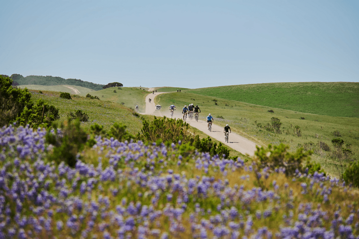
Top 10 Day Hikes
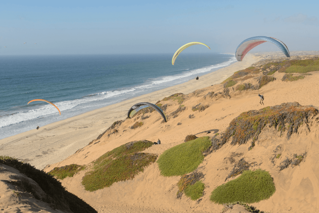
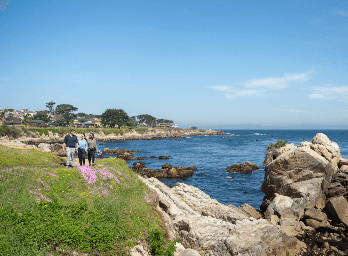
From rolling hills to coastal cliffs and lush wetlands, Monterey County is a treasure trove of hiking trails waiting to be explored. Whether you're a seasoned hiker or just looking for a scenic walk, these trails will immerse you in the beauty of California's Central Coast.
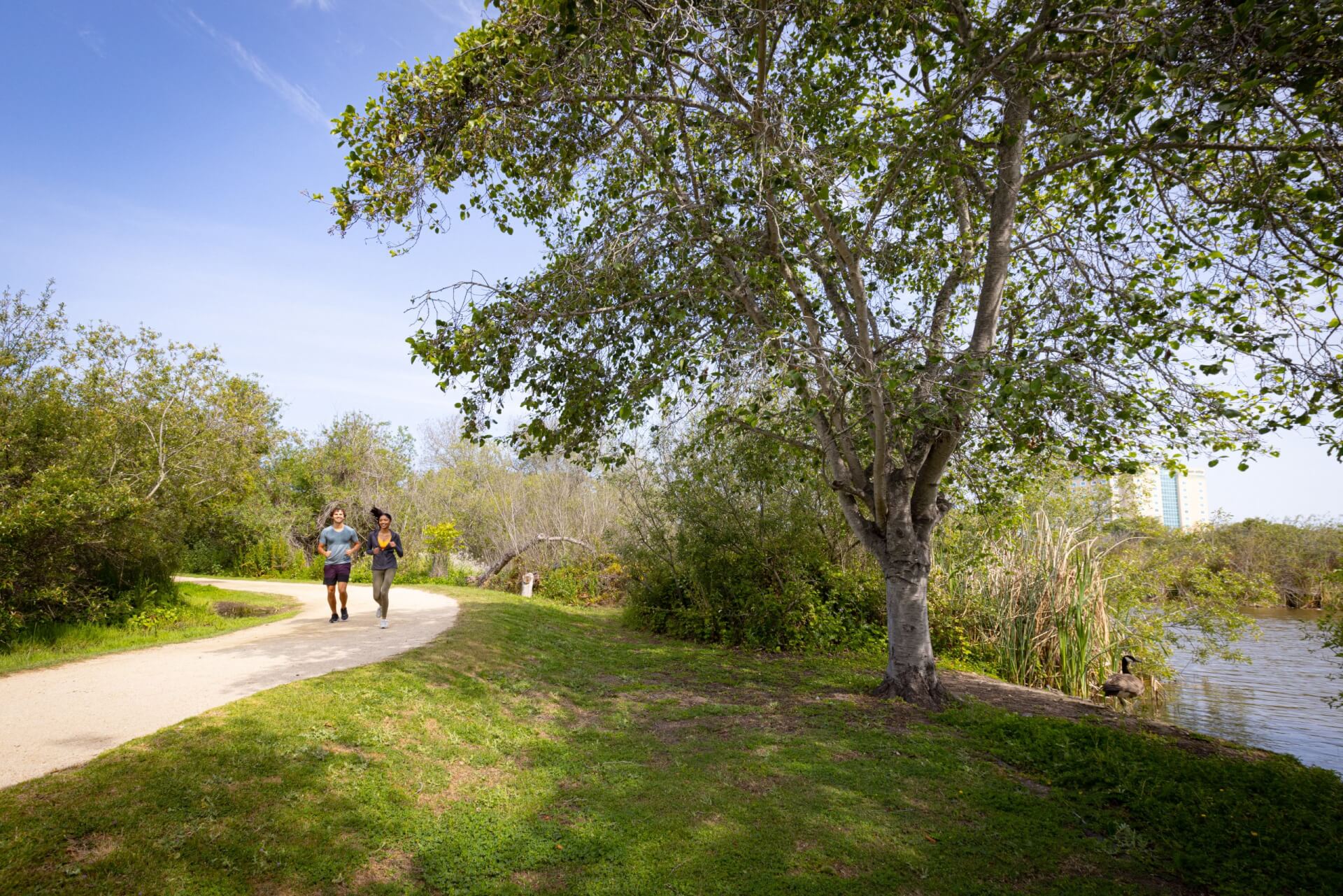
Day Hikes


