
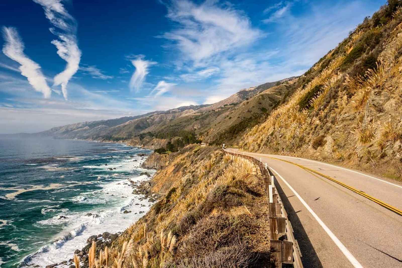
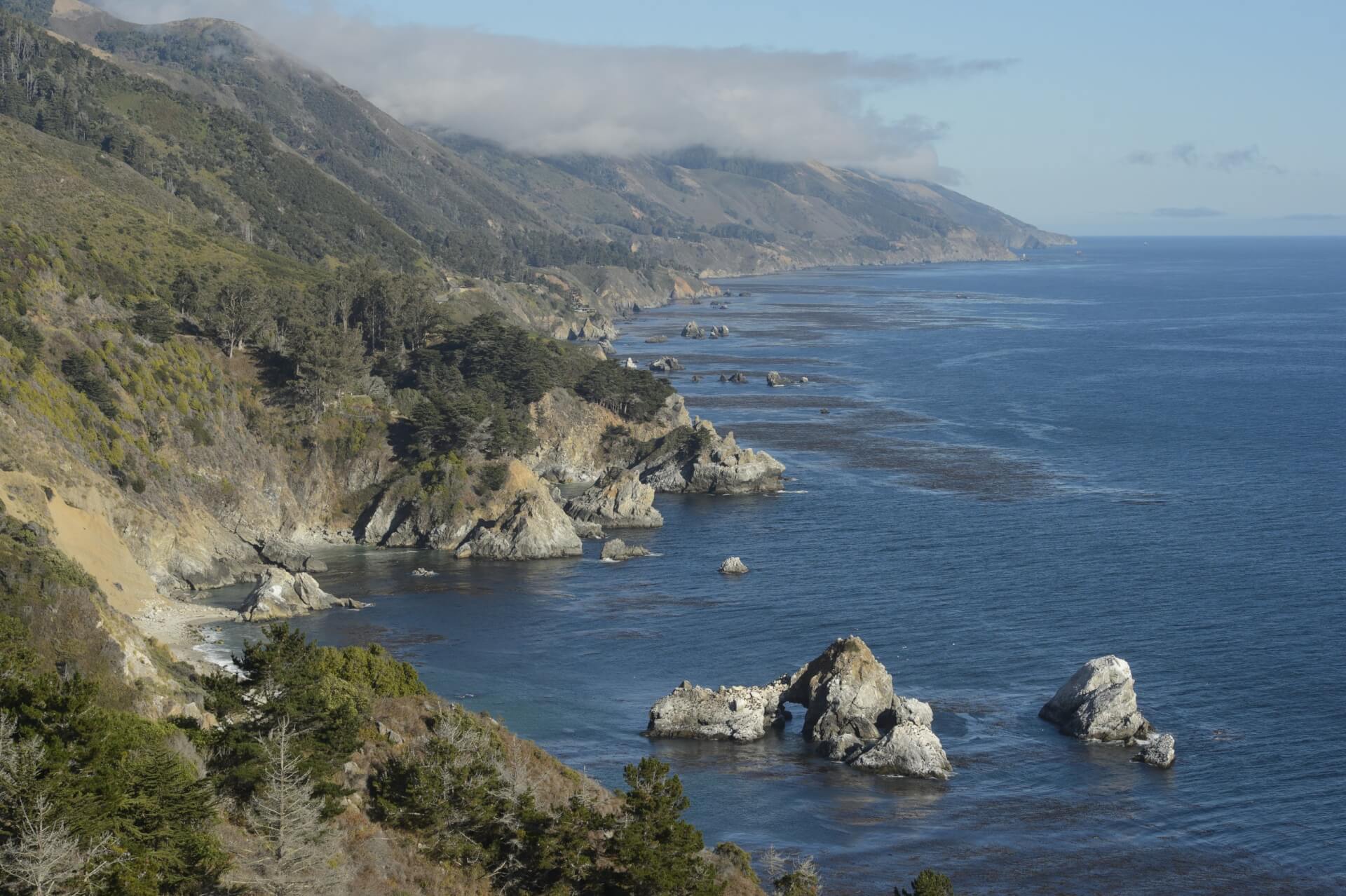

Garrapata State Park, an unknown Big Sur jewel, is a treasure to those who have discovered it. Garrapata State Park's unpopulated hiking trails provide access to both the beautiful Big Sur coastline and the breathtaking Santa Lucia Mountains and lie within a short drive of Carmel. Soberanes Point is named after the Ezequiel Soberanes Rancho that was once located there, while Doud River is named after the one-time Doud Ranch which owned a large section of what is now Garrapata State Park.
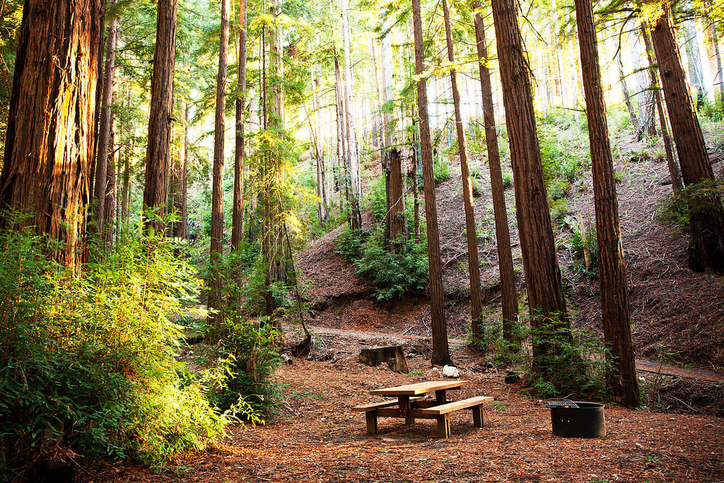
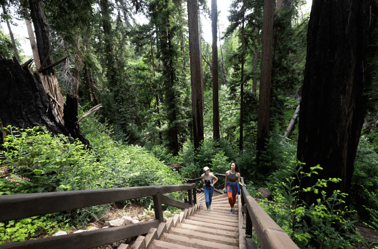
This park is subtly marked, with only one "Garrapata State Park" sign and nineteen discreetly numbered turnout markers — aficionados prefer to keep it that way so it remains unspoiled. These numbered markers lead to some of the best Big Sur hiking trails. Garrapata State Park's redwood groves and spectacular coastline are largely hidden from the road, seen only by those who take to its trails.
Day Use
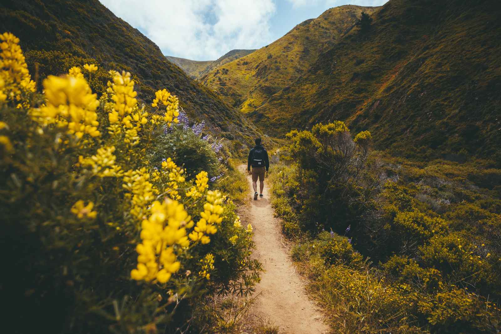
Unspoiled Garrapata State Park is a perfect spot for rugged Big Sur hiking and great ocean fishing. Migrating whales pass by Garrapata State Park's shoreline during winter migrations and can be seen with the naked eye from Soberanes Point. Garrapata State Park is also a great spot for photography. Dogs, which must be kept on a leash at all times, are only allowed on Garrapata Beach.
Hiking
Some of the best Big Sur hiking trails are hidden at Garrapata State Park. Choose to explore the incredible rocky coast and beach on the west side of Highway 1 or the 1.25-mile Soberanes Canyon Trail which heads inland with views of redwoods and the Santa Lucia Mountain Range. Refer to number 7 on our page Top Ten Day Hikes in Monterey County for a detailed description of this short hike.
Map and Directions
All turnouts for Big Sur's Garrapata State Park are located on the west side of Highway 1.
From Rio Road in Carmel, drive 6.7 miles south and look out for the "Garrapata State Park" sign. The first numbered turnout is located immediately after that sign, with turnouts 2-19 following. If you pass a mile marker labeled "MON 63.00," you've gone too far.
From Big Sur, drive 18 miles north (slightly north of Rocky Point) and watch for mile marker "MON 63.00." Turnout 19 lies shortly thereafter.