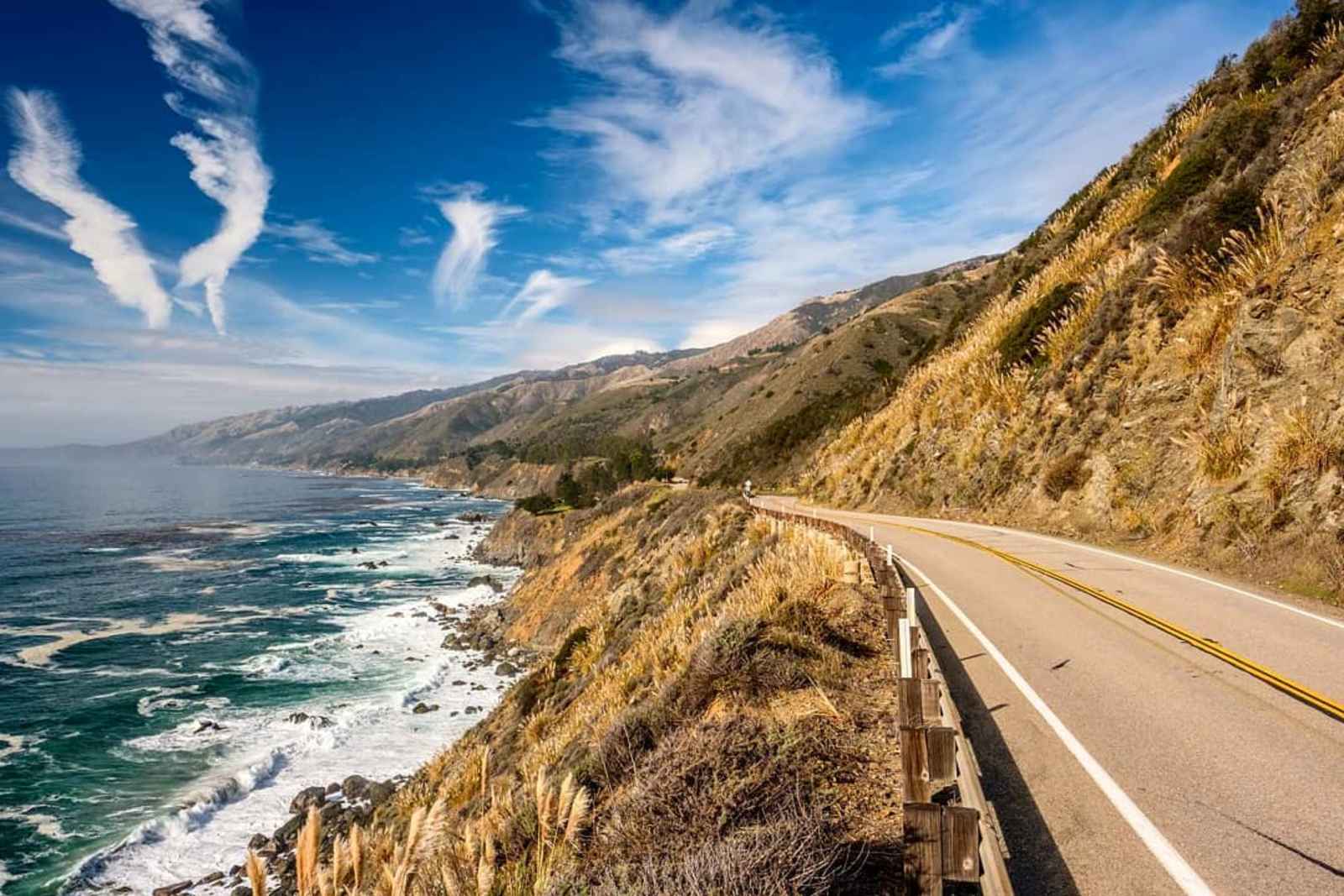


Big Sur is home to some of the world's most beautiful hikes and trails. Nestled between the rugged Santa Lucia Mountains and the stunning Pacific Ocean, it offers unmatched scenic beauty, best experienced through its extensive trail system.
We have compiled a guide to the best Big Sur day hikes, catering to all levels and abilities, from easy, accessible paths to challenging backpacking routes.
As you explore these trails, remember that Big Sur is a unique and precious area. Please enjoy it responsibly, helping to preserve its beauty for future generations by adhering to all posted signs, staying on designated trails and practicing leave-no-trace principles.
Andrew Molera State Park - Creamery Meadow Trail
This two-mile loop trail offers a relatively easy hike leading to the beach. You will traverse a meadow with grasses and seasonal wildflowers along the way. To access the trail, crossing the Big Sur River is necessary. A seasonal footbridge, available approximately from June 15 to October 31 each year, facilitates the crossing.
For those seeking a half-day adventure, consider the 8-mile round-trip loop that merges this trail with the Ridge, Panorama and Bluffs trails. This combination provides a moderate to strenuous hike featuring varied terrains, coastal views and beach access, typically taking about four hours to complete. Streamwading may be required to continue on the trail during the rainy season. Please note that dogs are not permitted on this trail.
Garrapata State Park - Soberanes Point Trail
The rugged coastline is the star of the show on this hike, as you’ll see sweeping ocean views as you walk along the canyon trail. While it’s typically a 1.6-mile loop trail, partial closures have shortened it slightly and you’ll need to hike in and back. This trail is considered easy to moderate, as Whales Peak has one steep section, which offers panoramic ocean views and the chance to spot whales and sea lions. This is another great hike for sunset, as the coastline views are unmatched. Dogs are not permitted on the trail.
Julia Pfeiffer Burns State Park - Partington Cove Trail and Tan Bark Trail
The Tan Bark Trail loop offers two options: a 1.5-mile trail or a 5.6-mile trail, perfect for stretching your legs during a drive along Highway 1. The shorter hike is a quick ten-minute descent, leading you across a small creek and through a tunnel carved into a rock wall. Emerging from the tunnel, you'll find a hidden cove. Follow the trail on the cove’s right side to Partington Point, where you can savor the coastal views before returning to the trailhead. The longer 5.6-mile Tan Bark Trail loop starts at the McWay Park entrance and ascends steeply through meadows and canyons filled with redwoods. Please note that dogs are not permitted on these trails.
Julia Pfeiffer Burns State Park - Waterfall Overlook Trail to McWay Falls
The wheelchair-accessible Waterfall Overlook Trail is approximately half a mile long and leads from the parking lot to a bluff and overlook area where visitors can enjoy coastal views and the majestic McWay Falls. This is one of the most popular Big Sur hiking trails, so expect some foot traffic. While the majority of the trail is gentle, there are some steep sections to consider. Dogs are allowed within the day-use parking lot.
Pfeiffer Big Sur State Park - Pfeiffer Falls and Valley View Trail
If you’re looking for a short and relatively easy hiking trail in Big Sur, the Pfeiffer Falls and Valley View Trail is the perfect option. This out-and-back scenic hike is about two miles long, with 500 feet of elevation gain and a waterfall! With great lookouts and plenty of benches along the trail, it’s great for kids and those who want to take their time. There are plenty of opportunities to rest and enjoy the view.
The hike begins from a trailhead by the Big Sur Lodge near the entrance to Pfeiffer Big Sur State Park. After parking, walk toward the lodge on either River Path or Nature Trail to reach the start of the trail. Look for the sign for Pfeiffer Falls and Valley View. The path leads to a dirt trail on the steps between gorgeous redwood trees. As the hike gets underway, you’ll pass beautiful greenery and a babbling stream.
When you come to an intersection, turn toward Pfeiffer Falls, which will take you directly to a flowing 50-foot waterfall. At the intersection, head towards Valley View for a slightly more challenging route. This route is about three miles and 700 feet of elevation gain. Although steeper, it will lead you above the trees and provide gorgeous ocean views at the top. Dogs are not permitted on the trail.
Pfeiffer Big Sur State Park - Gorge Trail
While this trail is unmaintained, it remains one of the best hikes in Big Sur because it leads you to a large natural swimming hole. The one-mile out-and-back trail is moderately challenging, so it’s not the best option for inexperienced hikers.
The trail takes you through a narrow gorge with massive granite rocks for climbing along the way and streams that can be crossed most of the year but may be too high during the March rainy season. Because you will likely get wet, bring your bathing suit to take full advantage of the water. Dogs are not allowed on this trail.
Pfeiffer Big Sur State Park - Buzzards Roost Trail
Buzzards Roost is a Big Sur hike for those looking to break a little sweat. Best used from March to October, this moderate 2.6-mile trail consists of switchbacks through a forest of tan oaks and along streams to a summit view at Pfeiffer Ridge that overlooks the Pacific coast. This trail is a local favorite and the perfect sunset hike! Dogs are not allowed on this trail.
Los Padres National Forest - Timber Top and Boronda Trail
This 5.3-mile out-and-back trail is challenging and offers epic views. It starts with a steep ascent through dense foliage and maintains its steepness for most of the route. As you progress, you'll pass through meadows and forests with abundant wildflowers if you're hiking in the spring. Reaching the summit rewards you with stunning coastal vistas. You can either camp overnight or return before sunset. Camping at the summit is an option, but be aware that sites fill up quickly, so booking in advance is advisable.
Los Padres National Forest - Sand Dollar Beach Trail
This short, quarter-mile beach trail is easy to hike with a big payoff—the chance to explore the largest continuous strip of sand along the Big Sur coast! While the beach is beautiful, be mindful of the tide, as currents can be choppy and unsafe for swimming.
There are two panoramic vistas to stop at on this hike: the first is an overlook above Sand Dollar Beach, accessed from a level trail and the second requires a short hike downhill. For many, this trail’s main draw is the opportunity to beach comb for jade and other eye-catching rocks. Be sure to follow the regulations for jade hunting before taking your findings from the beach. Dogs are allowed on this trail.
When planning your next Big Sur adventure, research your trip before arrival to determine if all roads and trails are accessible. Highway 1 on the Big Sur Coast often has roadway repairs, especially during winter. Please drive safely and visit Big Sur responsibly.