


An Interview with Greg Bernal-Mendoza Smestead, PhD, author of Antepasados: A Guide to the Juan Bautista de Anza Trail
Inspired by America 250, Monterey 1000 broadens the lens to recognize histories that long predate the founding of the United States. Over the coming year, this ongoing series will explore those stories, starting with some of the earliest chapters and connecting them to what makes the destination distinctive today.

In 1774, the continent was far different – ruled by Spain, England and France. There was no United States or Mexico at the time, but history is marked with events that change the course. The smallest empire on the continent at the time was England, with the 13 British colonies, while Spain had a vast territory across the Americas. Russians in Alaska were looking to control hunting and trade, not necessarily take over the land or indigenous tribes in Alta California. The Russian forts and occupations in Alta California led the Spanish to begin colonizing the territory, which they had claimed in 1542 and again in 1602.
The formal name is Lieutenant Colonel Juan Bautista de Anza, but as historian Greg Smestead, PhD, says, he would have been called simply “Anza.” A Soldado de Cuera – or leather jacket soldier – Anza had served the Presidio of Tubac just like his father and grandfather, fighting Apache tribes. Tubac today is a city in Arizona near the Mexico border.
Anza had approached the Viceroy Bucarelli of New Spain to find a pathway from Tubac, crossing the Colorado River to reach Monterey. Two land routes were explored in 1774. The first civilian group arriving in Monterey was not, in fact, Anza, but was led by a newly appointed Governor, Riviera y Moncada, from Sinaloa. The Governor Riviera y Moncada land route included fifty-one families and soldiers and was based on the maps from the Portola expedition. That same year, de Anza also used these maps but found a slightly different route to bring livestock and successfully reached Monterey, proving that a new land route was possible.

On December 6th, 1774, Viceroy Bucarelli of New Spain decreed that de Anza could lead an expedition to Monterey and, further north, to establish a Presidio and Mission in San Francisco. The Viceroy provided a budget of 21,927 pesos, or roughly $320,000 in 2026 dollars, to support the journey. Anza gathered groups at San Miguel de Horcasitas, including families from the cities of Culiacán, Sonora, and Tubac, and left on September 29, 1775. Members of the journey were of European, African, and Indigenous descent. The diaries of Anza, Friar Pedro Font, and Father Francisco Garces can be read on the Juan Bautista de Anza National Historic Trail map.

The route that Anza took was actually thousands of years old. He relied on native interpreters along the journey to follow hunting trails, streams, rivers, and trading routes between tribal nations. The Travel Guide to Tribes Along the Juan Bautista de Anza provides maps and information about the different tribes that interacted throughout the journey. El Camino Real, or the “King’s Highway,” served as a major territory and commerce route. Following hunting trails, trading routes and water resources from tribal nations.

Taking the journey were 240 men, women, and children. 242 people arrived in Monterey, with one woman dying in childbirth, and three children born along the route. There were three main aspects of Spanish colonization: Pueblo (civilian), Mission (religion), and Presidio (military). The expedition aimed to expand all three in Alta California.

Routes by ship had not always been successful, with sea travel difficult, and the supply ship “San Jose” was lost at sea during the 1769 Gaspar Portola expedition. A safe land route was needed to colonize Alta California. On March 10 1776, the expedition arrived at the Monterey Presidio and San Carlos Cathedral, with Anza meeting Father Junipero Serra at the San Carlos Mission on the following day. Upon arriving in Monterey, de Anza fell ill, and Serra treated him with native herbs at San Carlos. At the same time that de Anza had reached his destination in Alta California, George Washington was fighting for independence in the 13 Colonies.

Smestead, a descendant of the de Anza expedition, describes the Spanish using the ancient Roman process of “colonization by conversion” throughout the Americas. Instead of displacement, which happened in British colonies, the Spanish planned to convert the tribes throughout New Spain. The bloody fights between the Spaniards and indigenous peoples across the Americas had lasted for hundreds of years by the time the journey had begun. The colonies of New Spain didn’t have enough people to displace the indigenous tribes in Alta California; their plan was to convert the tribes to Catholicism and culture. The Spanish Empire wanted the land to introduce cattle and agriculture, and to have the subjects of their new colonies pay taxes.
Today, these descendants are part of the Los Californianos, and the Spaniards and Mexicans born in Alta California before American occupation are known as “Californios.” With one-third of the expedition staying in Monterey, descendants of the De Anza expedition still live in Monterey County today. Although June 3, 1770, is celebrated as the founding of Monterey, the journey of 1775 – 1776, numerous notable descendants, including the bandit Tiburcio Vasquez, Juan Bautista Alvarado, and Mexican Governor Pio Pico.

Lieutenant Moraga led a small expedition to San Francisco, choosing the site for the San Francisco Presidio and Mission Dolores. The Pueblo of San Jose was founded along the Guadalupe River to serve as an agricultural hub for San Francisco and Monterey. Prior to the technology boom, the fertile plains of San Jose were an economic driver of the region.
Smestead says that the impact of the de Anza trail is along the lines of what California historian Kevin Starr said about the importance of place: “a place gets a certain DNA, and the activities and people become an expression of that DNA”. You can still see and experience 250 years of the De Anza expedition and the arc of history in Monterey County.
The early settlers had an additional connection to United States history. During the American Revolution, Spain and France contributed to the Revolutionary Continental Army to push England out of the Colonial territories. Spain helped sponsor the Revolutionary War, taxing residents in New Spain and Alta California to pay for it: providing soldiers, taxes, and weapons. Descendants of the De Anza expedition are eligible to be members of the Daughters of the American Revolution (DAR).
Experience De Anza Trail Today

To experience the De Anza trail firsthand, visit these sites and landmarks:
- Mission San Carlos Borromeo de Carmelo (Campsite #89) – This beautifully preserved mission marks a key stop along the Anza route, where the expedition camped as they moved north through the Monterey Peninsula.
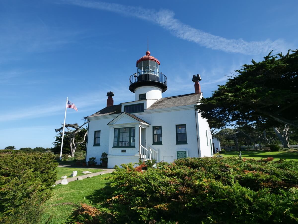
- San Carlos Cathedral (Campsites #88 & #90) – One of California’s oldest cathedrals, this area hosted Anza’s party both before and after their time near Monterey, underscoring its importance as a central waypoint.
- Mission San Antonio de Padua (Campsite #85) – Located in a remote valley, this mission site reflects the rugged terrain Anza’s expedition traversed just prior to entering the Salinas Valley.
- Boronda Adobe – Preserved today by the Monterey County Historical Society, this historic adobe and its archives help illuminate the early Spanish and Mexican-era history shaped by expeditions like Anza’s.
- San Lorenzo County Park (Campsite #86) – Set along the Salinas River, this peaceful park marks another riverside encampment used by Anza’s group as they journeyed north.
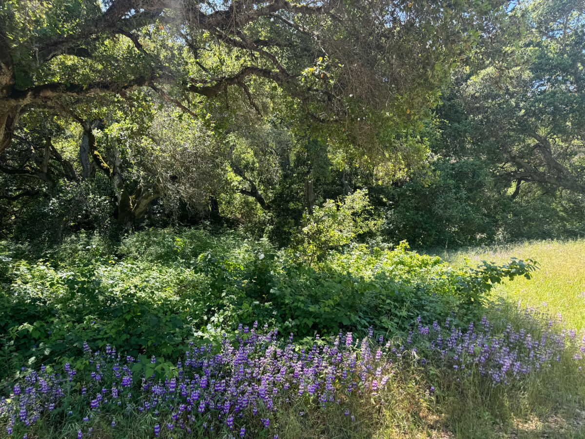
- El Toro Park – Near the base of the Gabilan Range, this area sits along the broader corridor traveled by the expedition through the Salinas Valley.
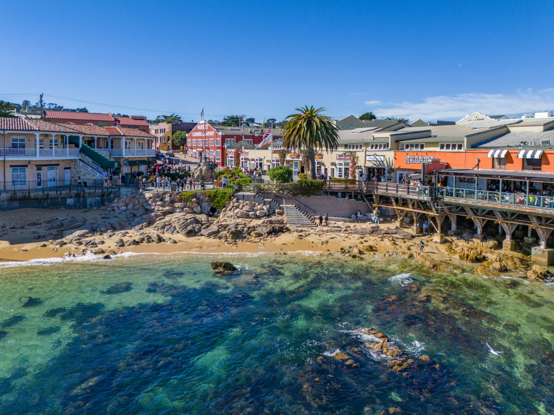
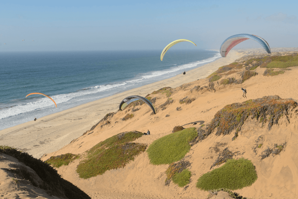
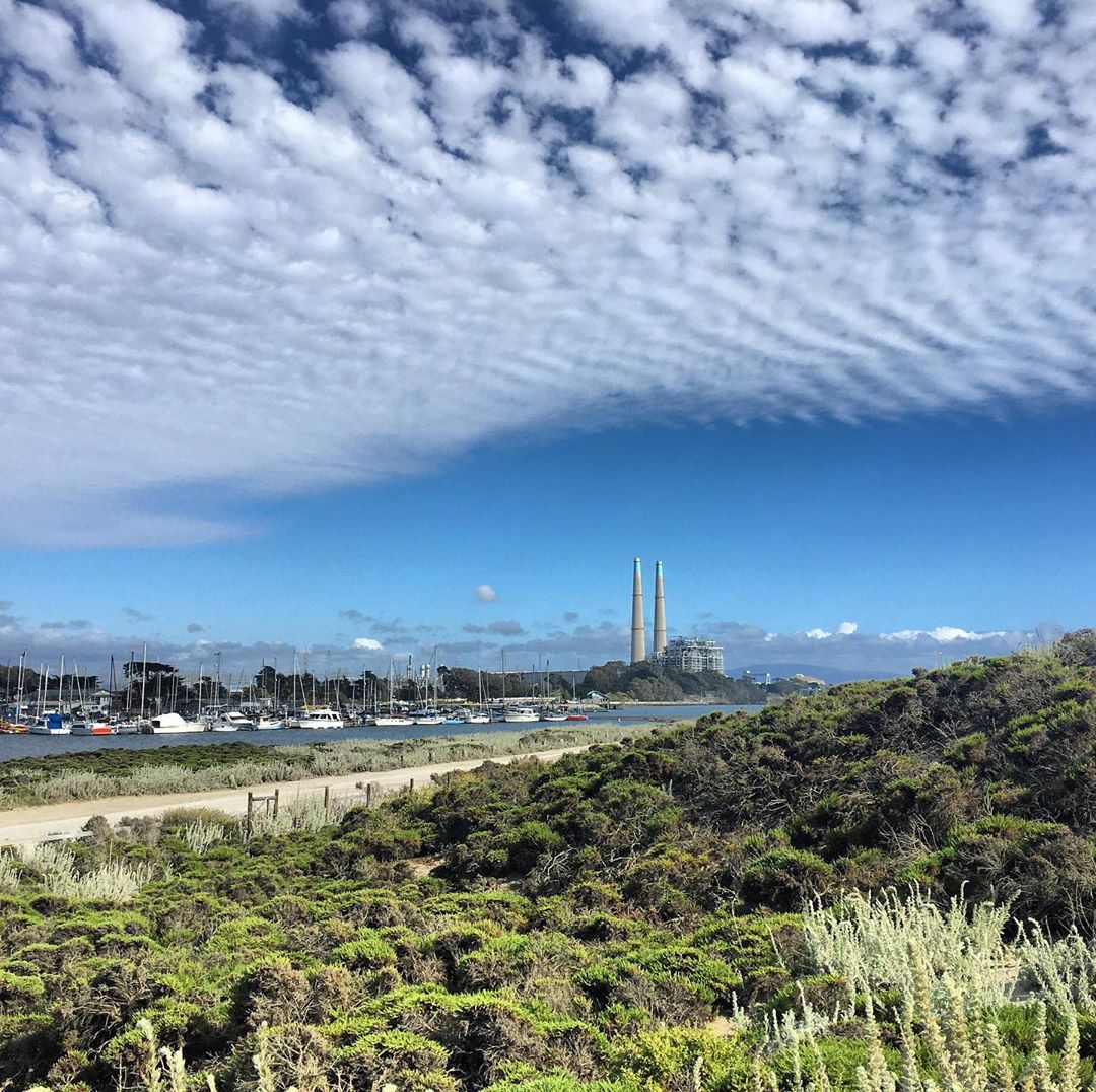
- El Estero Park – Bordering Monterey’s historic waterfront, this site evokes the coastal landscapes encountered by Anza’s party as they approached the bay.
- Natividad Creek Park (Campsite #91) – This Salinas park marks one of the northernmost Monterey County campsites on the Anza Trail before the expedition continued toward the Bay Area.
- Fort Ord National Monument – Today a vast protected landscape, this area reflects the open terrain and inland routes similar to those traversed by Anza’s expedition.
- Pacific House Museum – Located in Monterey’s historic Custom House Plaza, this museum offers deeper context on the early colonial period that followed expeditions like Anza’s.
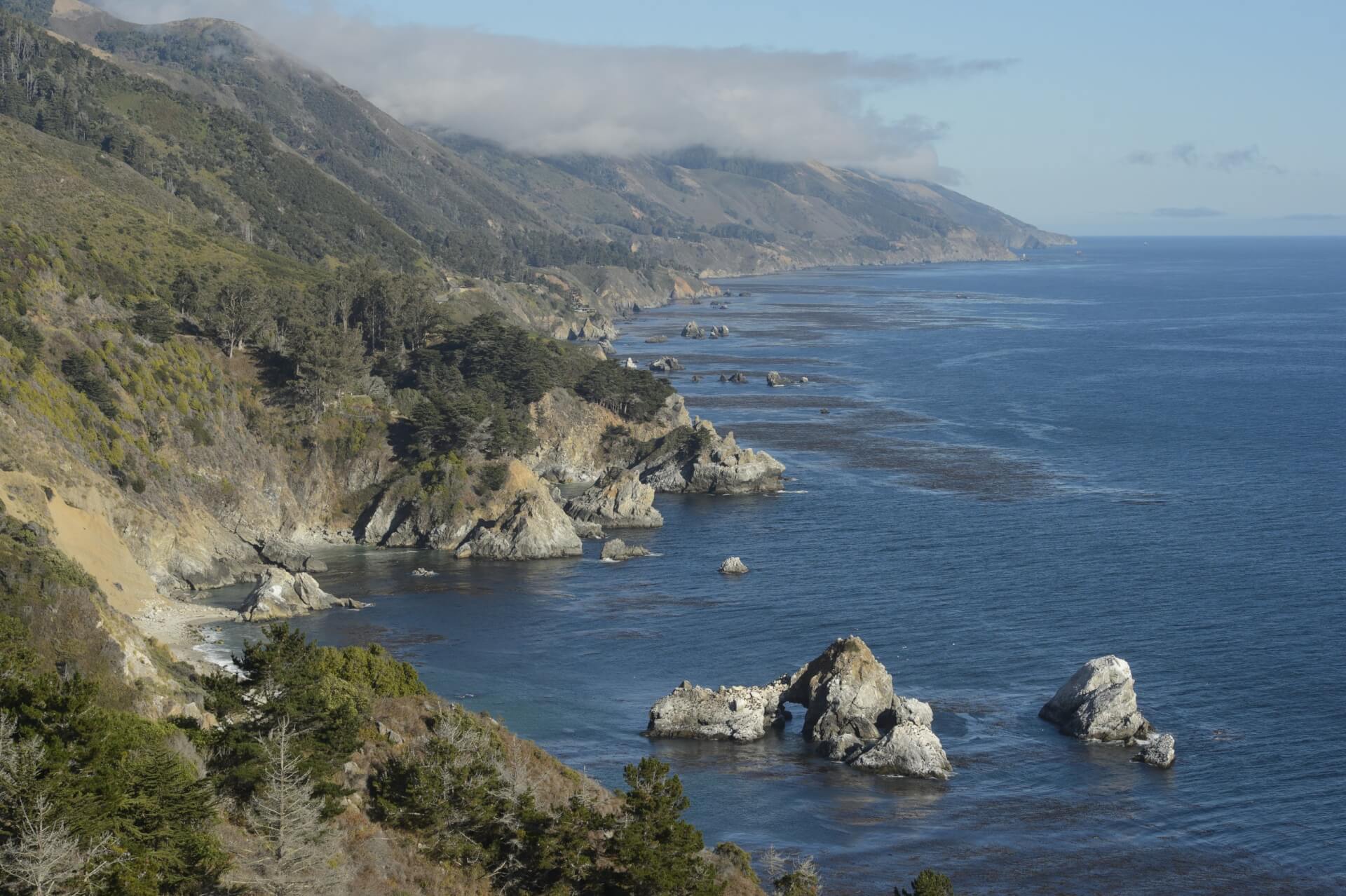
- Lake San Antonio – While the modern reservoir came later, the surrounding region reflects the inland landscapes crossed by Anza as he moved through southern Monterey County.
- Juan Bautista de Anza National Historic Trail (Monterey segment) – This designated trail allows visitors to retrace the path of Anza’s expedition, connecting key Monterey County sites that tell the story of this historic journey.

Brian Edwards
Brian Edwards is the Library & Museums Director for the City of Monterey. He focuses on preserving and sharing our cultural and historic resources for people today. He serves on the board of the Monterey State Historic Park Association and promotes events and information for early California. He has a background in studio art, storytelling, research and information sharing. He loves to share stories with residents and visitors throughout Monterey County.