
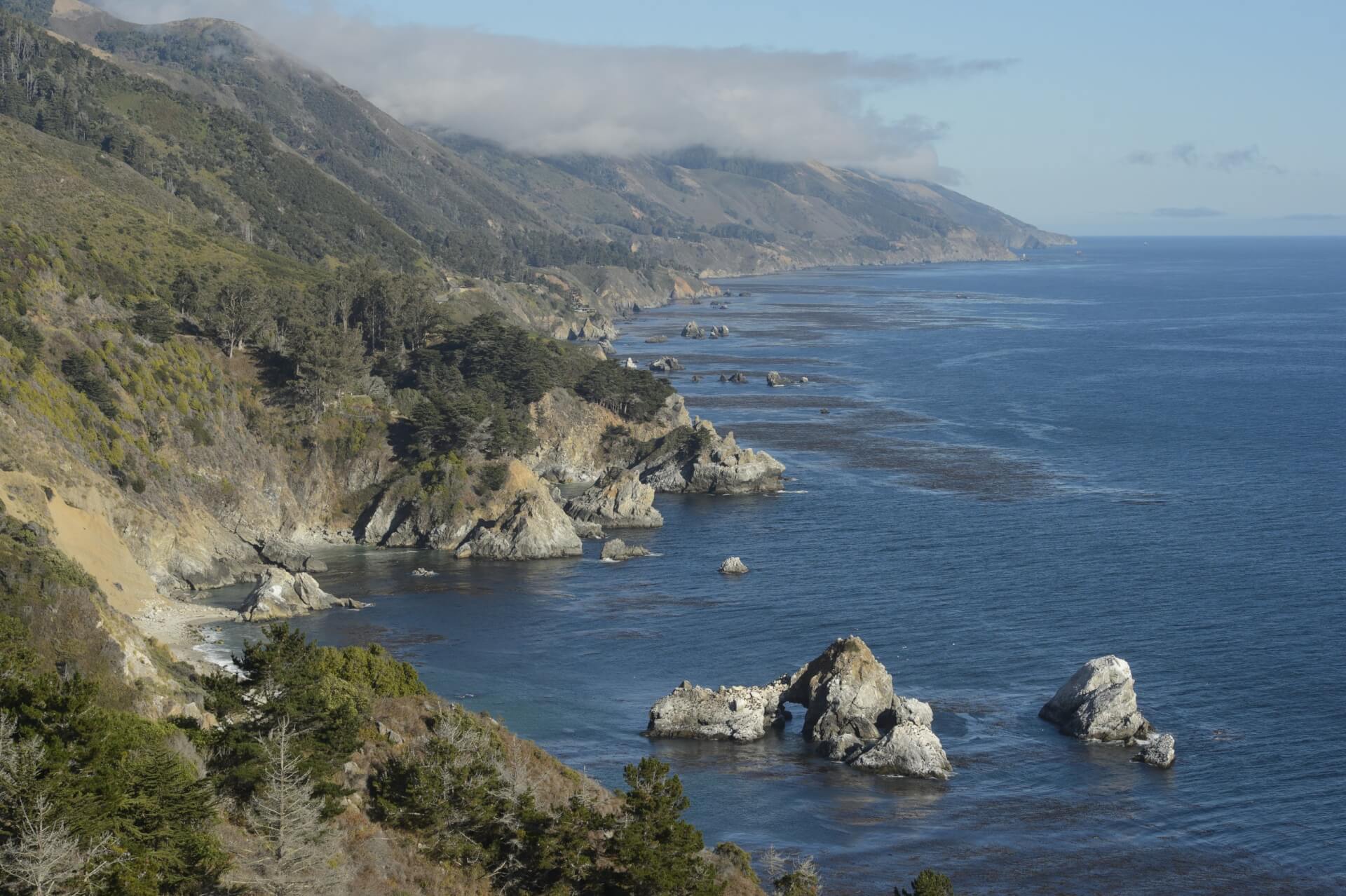
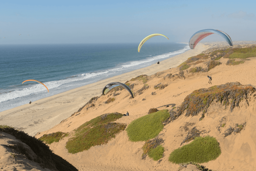
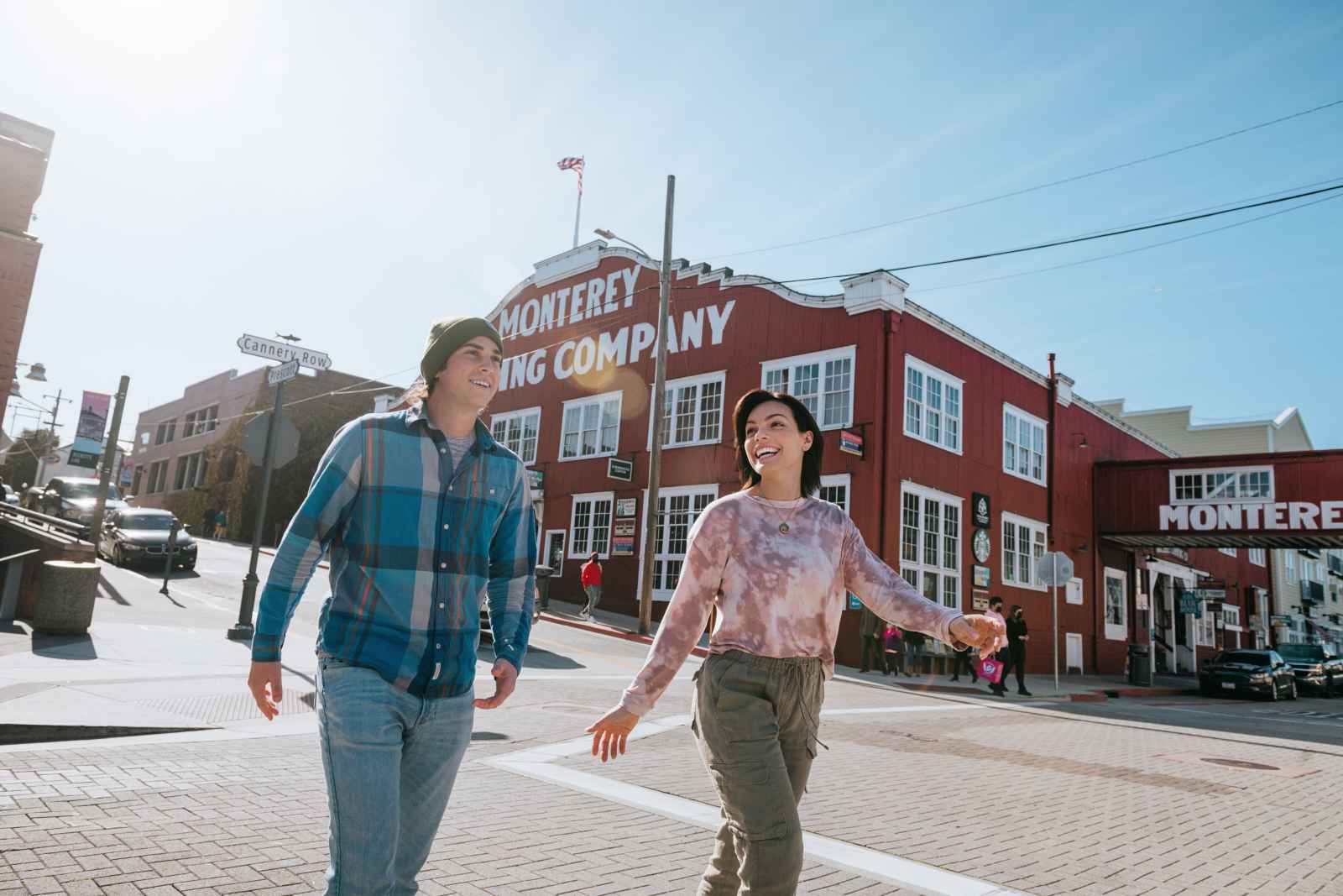


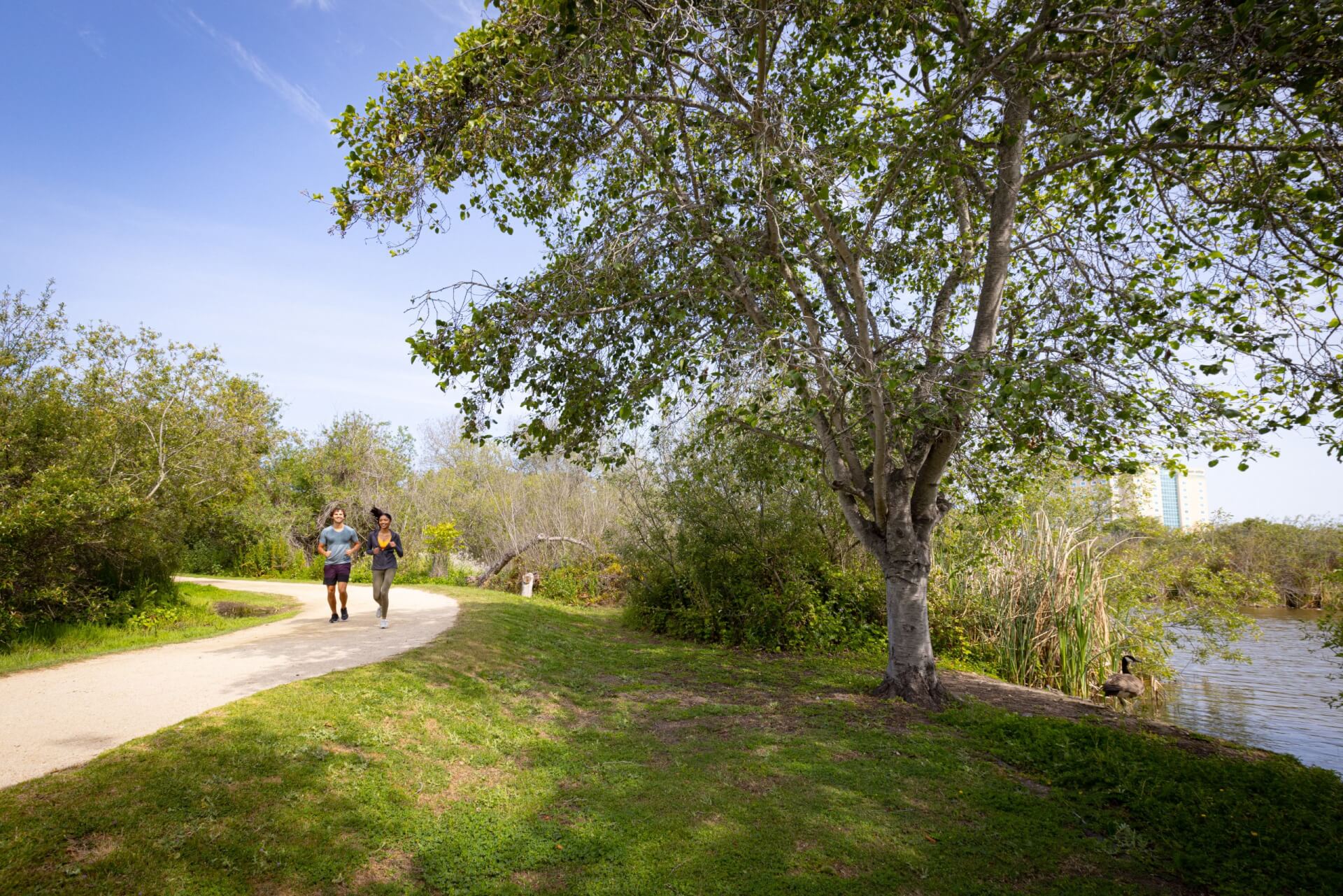

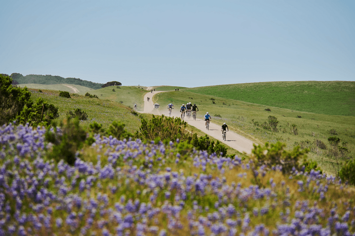

There are so many unique attractions in Monterey County that are not to be missed during your travels. Here you'll find iconic attractions like the Monterey Bay Aquarium, Point Lobos State Natural Reserve, 17-Mile Drive, Cannery Row and Fisherman's Wharf as well as other absolute gems like Pacific Monarch Butterfly Grove Sanctuary and National Steinbeck Center.
Filter your search below to find Monterey County's attractions with links for more in-depth information.
FILTER YOUR SEARCH
1 - 12 of 81 Results

MY Museum-Monterey County Youth Museum
MY Museum... Where children play to learn and grownups learn to play! PLAY... MY Museum is home to over 8,500 square feet of hands-on, interactive exhibits and a variety of fun activities. Whether you decide to…
BOOK NOW

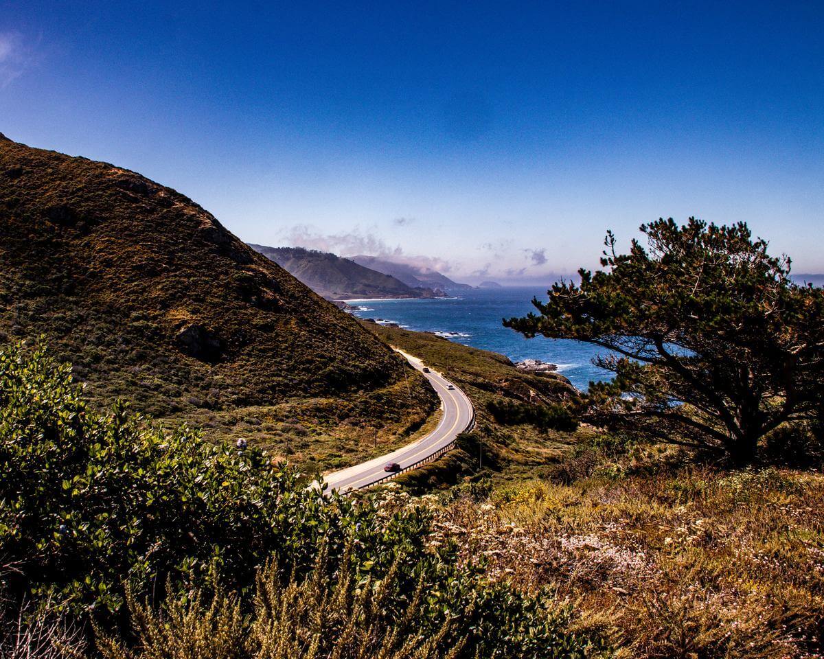
Big Sur Guides and Hiking
Welcome to the world of Big Sur Guides and Hiking. For the past 42 years we have been in the business of providing guided hikes and walks, for people with varying capabilities, into the breathtaking Big…
BOOK NOW

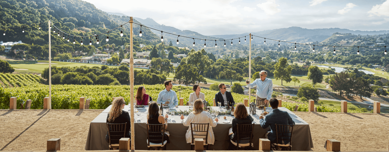
Monterey Guided Wine Tours
Wine tours. Exclusive, intimate, one-on-one experience. Door-to-door service. Wine tasting tours in Monterey, Carmel, River Road Trail, and Paso Robles. We provide exclusive and private guided wine tasting tours throughout the Monterey area and Paso Robles.…
BOOK NOW

Monterey Adventure Tours
Private and custom tours throughout Monterey and Santa Cruz counties, California wine tasting and food tasting tours, Carmel Mission tours, Big Sur tours, Point Lobos tours, Carmel tours, Santa Cruz tours, San Francisco to Big Sur…
BOOK NOW

Whisper Charters
It’s never too rainy or cold on Whisper Charters! Whisper Charters offers a fully covered boat and will still go out on rainy days, so don’t let the winter season stop you from experiencing these eco-friendly…
BOOK NOW

Specialized Helicopters
Specialized Helicopters serves all your helicopter and airplane needs, from tours, charter and training to sales and service. With a team of dedicated professionals, we are committed to providing a high level of customer satisfaction through…
BOOK NOW

California Legacy Tours
California Legacy Tours with Monica Hudson, the Monterey Peninsula's tour guide extraordinaire. Author, interpreter, historian, storyteller. Take the tour from the guide who wrote the books on local history and you will have a friend along…
BOOK NOW

Segway Tours Monterey
Segway Tours Monterey offers fun, scenic Segway tours of historic Monterey, along the Recreational Trail and along Ocean View Blvd. out to Asilomar State Beach. After a training session you will be escorted on a guided…
BOOK NOW

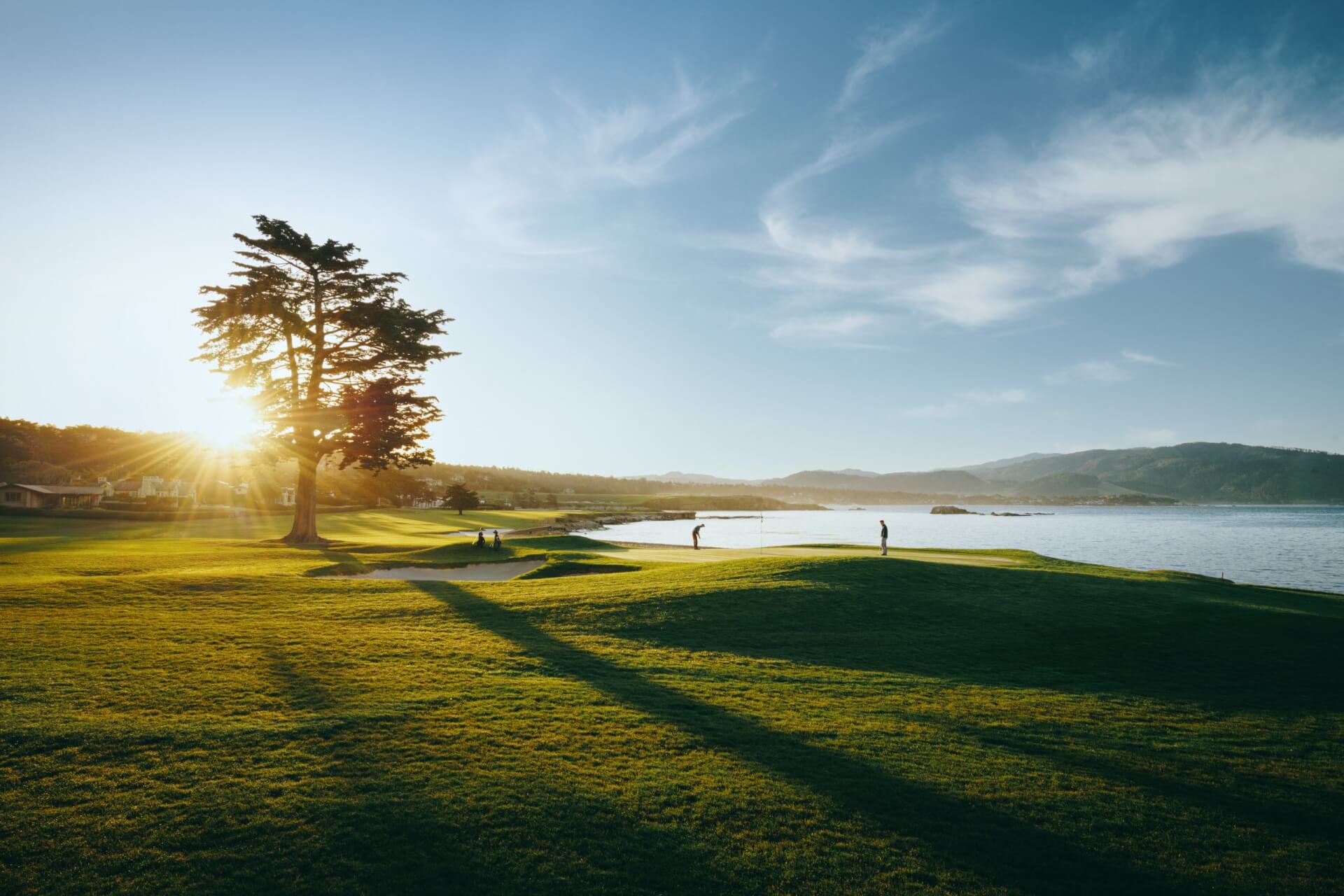
Pebble Beach Resorts
Pebble Beach Resorts is home to three award-winning hotels, world-renowned golf courses, 17-Mile Drive, The Spa at Pebble Beach and numerous dining and shopping experiences.
BOOK NOW

Skydive Monterey Bay
Thank you for your interest in skydiving at the most highly recommended skydiving center. Skydive Monterey Bay is known for the “World’s Highest Tandem Jumps” from 18,000ft. Jumping from 18k allows for a 90second free fall…
BOOK NOW

Carmel Food Tours
The Carmel Downtown Food Tour is a three-hour, guided tour of Carmel's most interesting attractions, and offers food tastings from seven unique eateries coupled with insightful presentations of Carmel's cultural, historical, and architectural highlights provided by…
BOOK NOW

The Farm
The Farm is an agricultural education center and local farming business just outside of Salinas, California. We offer fresh organic produce for sale, farm tours, special family activities and a pleasant rural destination. Open for tours…
BOOK NOW