


Inspired by America 250, Monterey 1000 broadens the lens to recognize histories that long predate the founding of the United States. Over the coming year, this ongoing series will explore those stories, starting with some of the earliest chapters and connecting them to what makes the destination distinctive today.
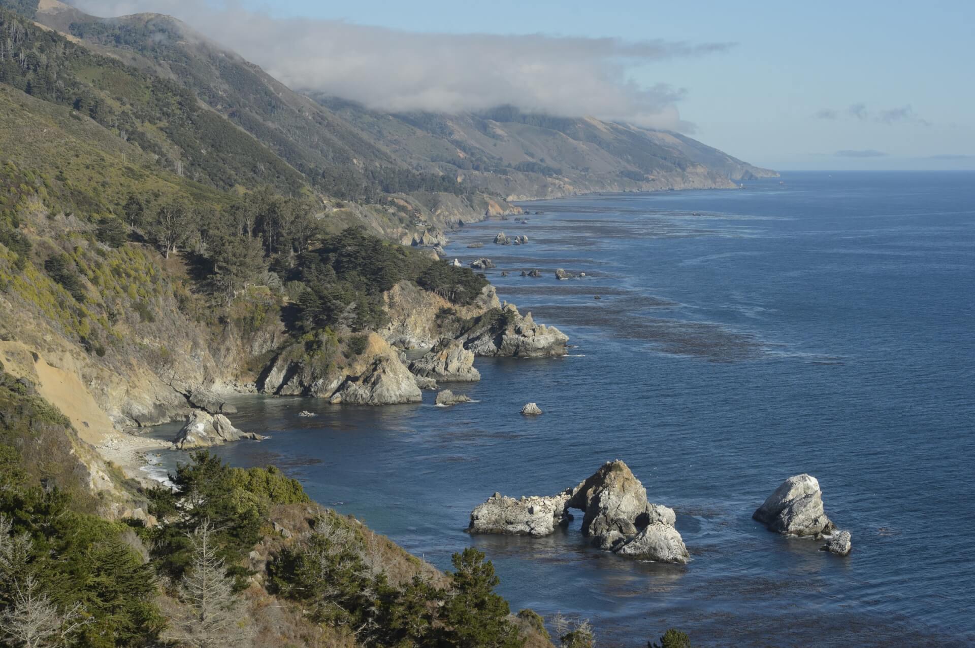
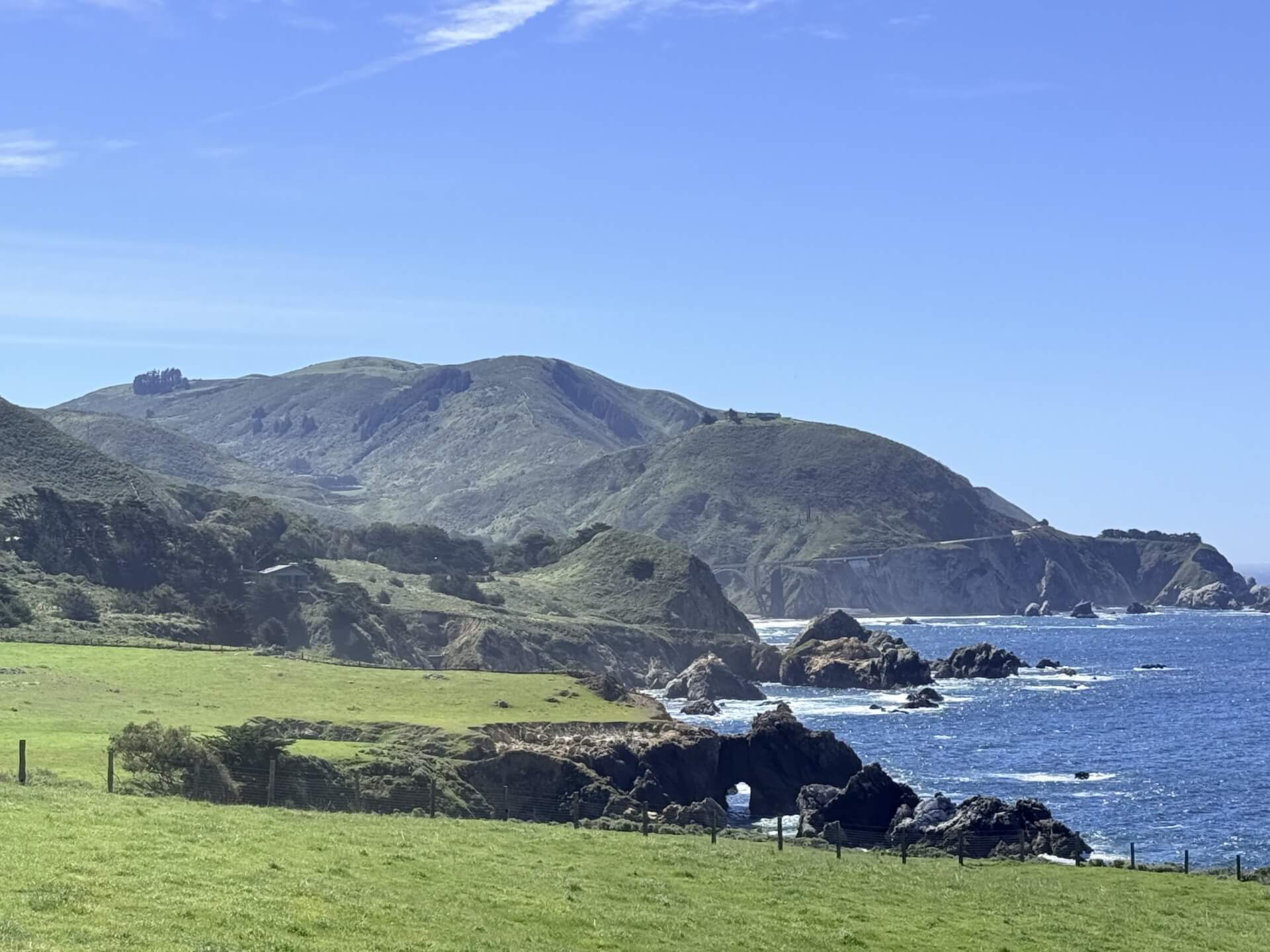
For nearly 100 miles, Monterey County's Highway 1 winds its way on the edge of one of the country’s most dramatic coastlines to connect the towns of Carmel-by-the-Sea in the north to San Simeon in the south. Along the route, drivers are treated to views of the Santa Lucia Mountains plunging into the Pacific, redwood-shaded valleys, and dramatic bridges spanning yawning canyons.
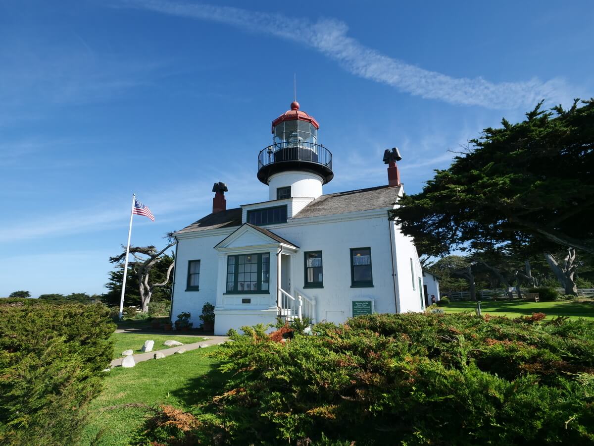
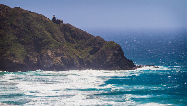
These days, the two-lane stretch of pavement is the frequent subject of travel pieces and has graced many a magazine cover, but the idea of a highway through one of California’s most rugged coastal regions came about due to a maritime disaster. On the evening of April 21, 1894, the S.S. Los Angeles, a coastal passenger ship making its way from San Pedro to San Francisco, struck a rock and sank within view of the Point Sur Lighthouse.
A doctor who served Monterey’s rural areas, Dr. John Roberts, rushed to the shipwreck from Seaside to aid its survivors. Utilizing a rough road, the doctor made it to Big Sur by horse and buggy in three and a half hours.
Though Dr. Roberts had made good time, he realized the practicality of a proper highway through the region. The idea prompted Dr. Roberts to walk from Carmel to San Luis Obispo while mapping a possible route. It took him five days. The doctor estimated the cost of constructing the road at around $50,000.
At the south end of the proposed highway, Dr. Roberts found a powerful ally willing to promote his plan: Elmer Rigdon, a state senator from Cambria who served on the California Senate Committee on Roads and Highways. Rigdon initially gathered support for Highway 1 by touting it as a road along California’s western flank for military purposes.
Work on the highway began in 1922, the same year that Rigdon died. The steep terrain and rocky landscape posed great difficulties to the road’s construction. Several thousand pounds of dynamite were used to blast through the rock.
A great deal of the most grueling work was done by inmates from the San Quentin Prison. They were paid 35 cents a day and received reduced prison sentences for helping to construct the road.
Highway 1 through Big Sur was built by creating flat sections on sloping terrain and by spanning the steep canyons where creeks and rivers ran into the sea. Dealing with the latter required constructing 32 bridges from Carmel to San Simeon. The most difficult bridge to build was the Bixby Bridge, which is 356 feet long and 260 feet above the creek bed below. When it was completed on November 23, 1932, the bridge became the largest arched highway structure in the western U.S.
A couple of years later, on September 18, 1934, two convict crews met and removed a final barrier on the highway. To test the road, a handful of official cars drove the length of the highway, though some sections had only a single lane. Without all the bridges constructed, motorists had to take a few steep detours.
A more formal ceremony took place on June 27, 1937, when the final bridges and lanes had been added. On that morning, California Governor Frank Merriam led a caravan from the Cambria Pines Lodge in Cambria to San Simeon, where the highway dedication ceremonies began. During the festivities, Alicia Rigdon, the wife of the late state senator who pushed to make the highway a reality, dedicated a silver fir tree to her husband’s memory.
In the afternoon of that day, a celebration was held on the highway at Pfeiffer Big Sur State Park to mark the historic opening of the road. Governor Merriam and Public Works Director Earl Lee Kelly were in attendance, along with Dr. Roberts, who had the initial idea for what would become Highway 1.
Another important milestone in the highway’s history occurred on September 21, 1966, when Lady Bird Johnson dedicated Bixby Bridge and the roadway as California’s first official scenic highway. She had helped pass the Highway Beautification Act of 1965, which regulated the use of outdoor advertising, including billboards, along the nation’s growing interstate system.
California State Senator Fred Farr attended the ceremony at Bixby Bridge with the First Lady. Fred Farr’s son, Sam Farr, who served in the U.S. House of Representatives from 1993 to 2017, told See Monterey that his father helped create the state’s scenic highway system and ensured that the road would not be marred with billboards. “We were so proud of our scenery,” Farr said. “Why would we want to interrupt that natural scenery with, as Ansel Adams used to call them, urban acne, billboards scattered all over our highways?”
Today, motorists travel from around the world to drive the thin ribbon of highway that winds across the picturesque yet rugged landscape.
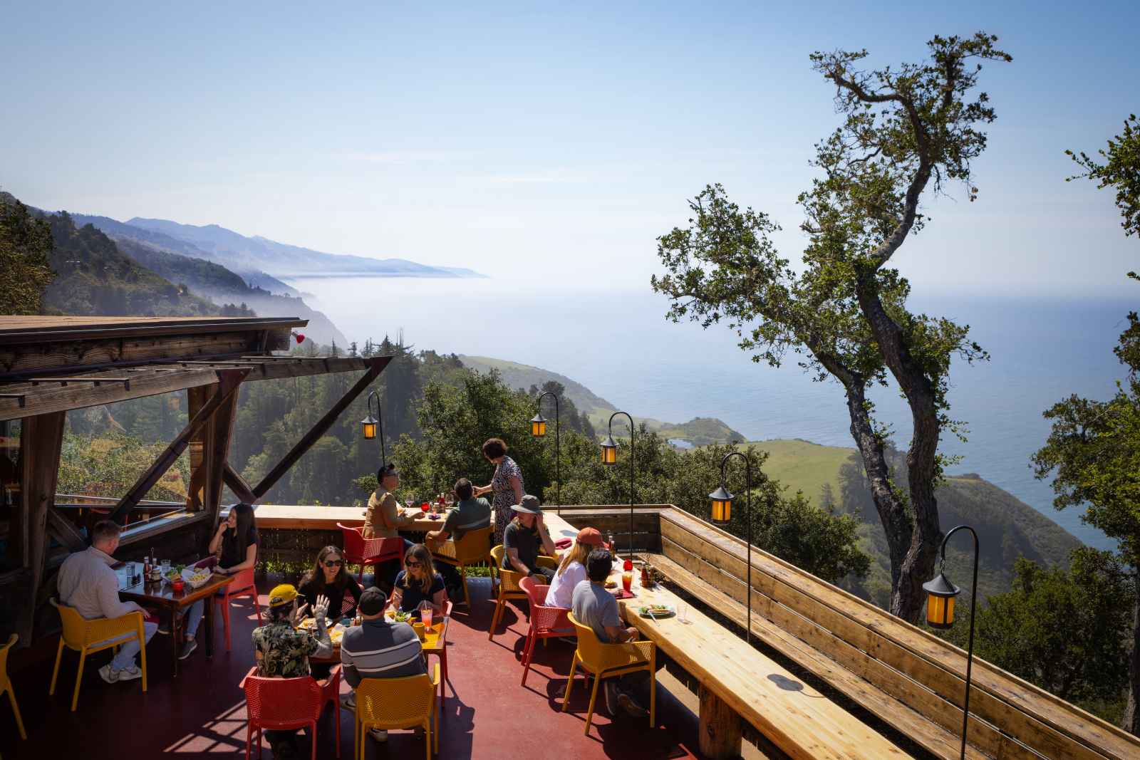
A natural attraction that can be seen flying over Highway 1 is the California condor, the largest land bird in North America, with a 10-foot wingspan. Nearing extinction in the 1980s, the bird has rebounded due to efforts by the locally based Ventana Wildlife Society. If you don’t view a bird in the wild, you can still learn about the amazing scavenger by stopping into the Ventana Wildlife Society Discovery Center (Andrew Molera State Park, 23 miles south of Carmel, Memorial Day-Labor Day Saturdays and Sundays 10 a.m. to 4 p.m.) or experience soaring above Big Sur by using the condor flight simulator in the Ewoldsen Nature Center (Pfeiffer Big Sur State Park, 28 miles south of Carmel, summer Saturdays and Sundays 10 a.m. to 2 p.m.).
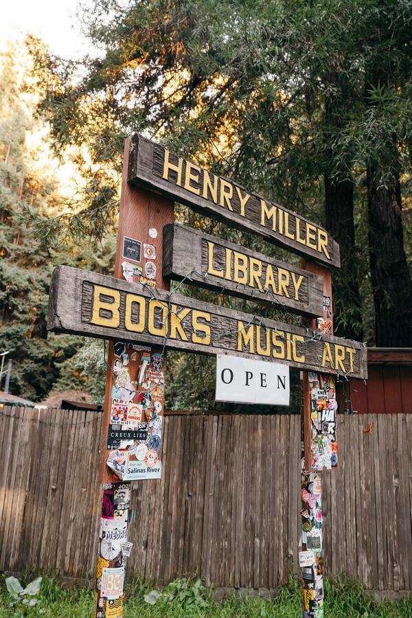
Less than a mile south of Nepenthe is the Henry Miller Memorial Library, a one-of-a-kind event space and bookstore celebrating the life of the challenging novelist Henry Miller, who lived in Big Sur from 1944 to 1962. Inside the cabin are many books by the library’s namesake, along with lesser-known but fascinating writers who wrote about or resided in Big Sur, including Robinson Jeffers, Jaime de Angulo and Lillian Bos Ross.
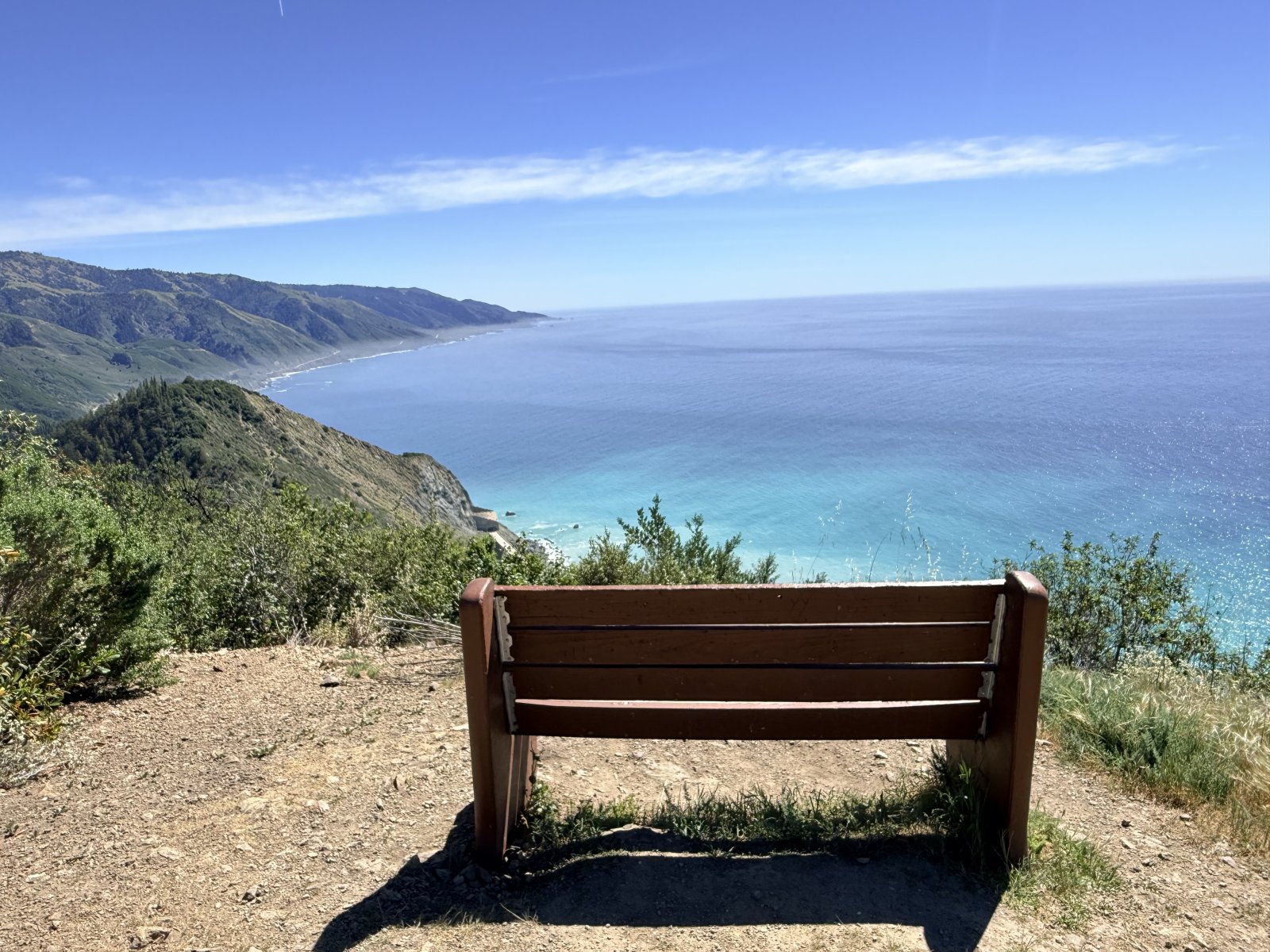
Twenty-three miles south of the library is the home of one of the California coast’s most unique communities, a mountaintop hermitage for 12 monks seeking seclusion. Offering stunning views of Big Sur’s South Coast and plenty of silence, the New Camaldoli Hermitage allows Highway 1 motorists to visit its bookstore, where you will find religious items along with bookmarks and greeting cards adorned with impressive pointillist scenes done by Father Arthur Poulin. For those seeking a moment of silence away from society’s hustle and bustle, the hermitage is a highly recommended stop.
Along the twisting highway are some interesting features that most motorists pass by. While constructing Highway 1, natural springs were found along the roadway. The Civilian Conservation Corps constructed six stone drinking fountains to serve the naturally occurring spring water to those driving the highway. Essentially, stone ruins now, the drinking fountains make for nice rest stops. There are five remaining, including one located 47 miles south of Carmel, named for State Senator Elmer Rigdon, the man who helped make Dr. Roberts’ dream of a highway through Big Sur a reality.
Stuart Thornton
While researching an edition of his Moon Monterey & Carmel Guidebook 10 years ago, Stuart Thornton took a guided history tour at Monterey State Historic Park. That one-hour walk opened his eyes to the richness of Monterey County’s past and inspired him to become a part of the interpretive crew at the park. These days, Stuart works as a Monterey State Historic Park Guide and authors Moon Travel Guides. He loves to find little-known stories from Monterey’s history to share with park visitors or to write about in various publications. To view more of Stuart’s writings, please visit www.stuartthornton.com.